Valdez
Above 4,000ftModerate
2,000 to 4,000ftModerate
Below 2,000ftLow
Degrees of Avalanche Danger
Avalanche Problems
Problem 1

Likelihood:
- Almost Certain
- Very Likely
- Likely
- Possible
- Unlikely
Size:
- Historic
- Very Large
- Large
- Small
Trend
- Increasing
- Steady
- Decreasing
Problem 2

Likelihood:
- Almost Certain
- Very Likely
- Likely
- Possible
- Unlikely
Size:
- Historic
- Very Large
- Large
- Small
Trend
- Increasing
- Steady
- Decreasing
Problem 3
Likelihood:
- Almost Certain
- Very Likely
- Likely
- Possible
- Unlikely
Size:
- Historic
- Very Large
- Large
- Small
Trend
- Increasing
- Steady
- Decreasing
Avalanche Activity
12/15- Observed small natural avalanche on west aspect of Goodwills. Released below a cliff band at the bottom of a slope, 100′ wide. SS-N-D1-N
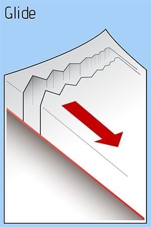
12/8- An observer witnessed a glide crack avalanche. SW aspect of peak 4690′ above the Valdez Glacier Lake. The debris reportedly ran all the way to the lake, with the deposition pile only feet away from a well used cross country ski trail.
Weather
12/18- There is a front to the south of us that has pushed clouds over our area. Expect Wednesday to be partly cloudy, with moderate north winds, and temperatures in the low 20’s for Thompson Pass.
North wind is forecasted to become strong for our area beginning Thursday.
The Thompson Pass Mountain Forecast covers the mountains (above
1000 ft) surrounding Keystone Canyon through Thompson Pass to
Worthington Glacier.

This forecast is for use in snow safety activities and emergency
management.

                   Today        Tonight

Temp at 1000`      26 F         15-21 F

Temp at 3000`      14-21 F      15-23 F

Chance of precip   20%          20%

Precip amount
(above 1000 FT)    0.01 in      0.04 in

Snow amount
(above 1000 FT)    trace        trace

Snow level         sea level    sea level

Wind 3000` ridges  NE 25-35 mph NE 20-32 mph
| 24h snowfall (inches) | HN24W (inches)* | Hi Temp (F) | Low Temp (F) | Dec snowfall | Season Snowfall | |
| Valdez | 0 | 0 | 33 | 21 | 7 | 31 |
| 46 mile | 0 | 0 | 9 | 2 | – | – |
|
Nicks snotel (4500′) |
0 | 0 | 26 | 21 | – | – |
HN24W= total water received last 24 hours in inches
Additional Information
There is 2-4″ of windslab present in the immediate vicinity of Thompson Pass. This layer shows signs of weakness and will need time to gain strength. Human triggered avalanches are possible in steep terrain. Moving away from Thompson Pass there are reports that the snow was mostly unaffected by the wind. In areas that have no wind effect, stability will be better. North winds are forecasted to become strong on Thursday. There is plenty of snow available for transport in areas that have not yet been affected by the wind. Expect the hazard to increase when the wind arrives, due to fresh windslab development.
The avalanche hazard is moderate today in the mid and upper elevations. It is possible to trigger windslab avalanches up to 1′ deep. It is also possible that small avalanches could step down into deeper layers of the snowpack. Only expose one person to a slope at a time and avoid terrain traps.
The further north you go from Thompson Pass, expect thinner snowpacks. Triggering an avalanche on a persistent weak layer will be more likely in the continental zone.
If you venture into avalanche terrain today, use terrain progression as a tool. Start with small slopes that have no consequence, before committing to larger slopes.
If you have traveled in the mountains, please leave a public observation. The more info we can get from various locations will help us to get a clearer picture of the snowpack in our beautiful Valdez Chugach!
Forecast Confidence is moderate.
Announcements
The avalanche hazard is moderate at mid and upper elevations. Human triggered avalanches are possible on steep terrain, or in areas that have been loaded by winds. Good indicators for windslab are a rapid increase in depth of the new snow over a short distance, and a hollow, drum-like feel. Shooting cracks will indicate unstable snow. Use caution in the mountains today, avoid areas that are receiving active wind loading and avoid terrain traps.