Valdez
Above 3,000ftConsiderable
1,500 to 3,000ftConsiderable
Below 1,500ftLow
Degrees of Avalanche Danger
Avalanche Problems
Problem 1
Likelihood:
- Almost Certain
- Very Likely
- Likely
- Possible
- Unlikely
Size:
- Historic
- Very Large
- Large
- Small
Trend
- Increasing
- Steady
- Decreasing
Problem 2
Likelihood:
- Almost Certain
- Very Likely
- Likely
- Possible
- Unlikely
Size:
- Historic
- Very Large
- Large
- Small
Trend
- Increasing
- Steady
- Decreasing
Avalanche Activity
On 12/8, skies cleared giving us a good look at the upper elevations. No new natural avalanches were observed from the 12/5 through 12/7 storm.
Weather
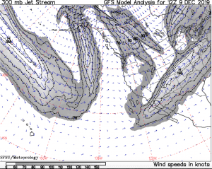
A strong low pressure system south of the Alaska peninsula is pushing a storm force front across the southern mainland. Along with this, the jet stream is pointed directly at Southern Alaska delivering abundant moisture and warm air.
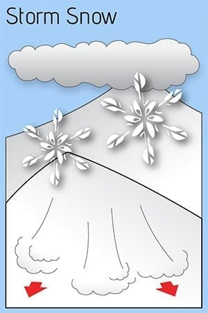
An inch of water is forecast to arrive in the next 24 hours which could add up to 6-10 inches of heavy snow above 4000′. Expect highs to be in the 40’s and freezing line to rise to 4k feet. At 8 am temps were already 33F at 4500′ at Nicks, and 35F at Thompson Pass.
The Thompson Pass Mountain Forecast covers the mountains (above
1000 ft) surrounding Keystone Canyon through Thompson Pass to
Worthington Glacier.

This forecast is for use in snow safety activities and emergency
management.

                   Today        Tonight

Temp at 1000`      42 F         34 F

Temp at 3000`      35 F         33 F

Chance of precip   90%          100%

Precip amount
(above 1000 FT)    0.27 in      0.62 in

Snow amount
(above 1000 FT)    0-3 in       0-5 in

Snow level         1500 ft      2200 ft

Wind 3000` ridges  E 17-38 mph  E 12-41 mph

Remarks...None.

Additional Information
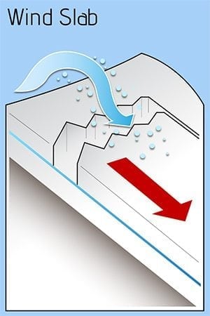
Sunday revealed 8″ of new snow that was redistributed by moderate to strong SE winds. Snow line for this storm was 2200′ on the southside of Thompson Pass and 3200′ on the north side. Windslab up to 2′ deep has formed on the lee side of terrain features. Stability tests at 4000′, on a south aspect of Girls Mt, revealed moderate stability with no signs of propagation.
On Monday, additional snow and wind will build these windslabs to greater depths above 4,000′ . Below 4,000′, rain is likely with up to an inch forecasted over the next 24 hours. This warm up in temperatures will decrease the surface stability of the snowpack.
Avoid crossloaded gullies, avalanche paths, and terrain traps. Careful decision making and route finding will be necessary.
Forecast Confidence is low.
Announcements
The avalanche hazard is Considerable today at Mid and Upper elevations. Triggering wind slab avalanches up to 2 1/2 feet deep will be likely today on NE through NW aspects, especially on the lee side of ridge lines. Avoid travel in avalanche terrain today and stay away from runout zones. The danger will remain elevated until temperatures begin to fall.


