Hatcher Pass
Above 3,500ft None
2,500 to 3,500ft None
Below 2,500ftNone
Degrees of Avalanche Danger
Weather
Independence Mine received 8” of new snow (0.8” SWE) between Saturday 12/8 and Sunday 12/9, 2″ of new snow Tuesday night 12/11, and 1.5″ of new snow Wednesday night 12/12. Temperatures dropped rapidly from the mild temperatures of last week to a low of 9 degrees F Saturday night. Temperatures then recovered into the 20’s by Monday afternoon, but again dropped to single digit highs and lows by Tuesday morning. Ridge top temperatures at Marmot weather station were similar. Winds have been relatively benign by Hatcher Pass standards, with calm to light wind at Independence Mine over the last week. Ridge top winds have been light gusting to moderate from the SE since Saturday morning.
The weather through Saturday morning is expected to be much colder than the last week, with highs in the low teens and lows hovering right above 0 degrees F. Wind will continue to be light gusting to moderate, shifting to the East by Thursday. Expect scattered snow showers through Friday with little accumulation. There is disagreement in the weather models right now for precipitation, so it’s possible for Hatcher Pass to get more snow than expected.
Stay tuned to the NOAA forecast for an updated weather forecast each day. The best way to see if it’s snowing in Hatcher Pass is to look at the webcam snow stake HERE and the Independence Mine SNOTEL site HERE.
NWS Recreational Forecast HERE
HP State Park Snow Report and Motorized Access Info HERE
Announcements
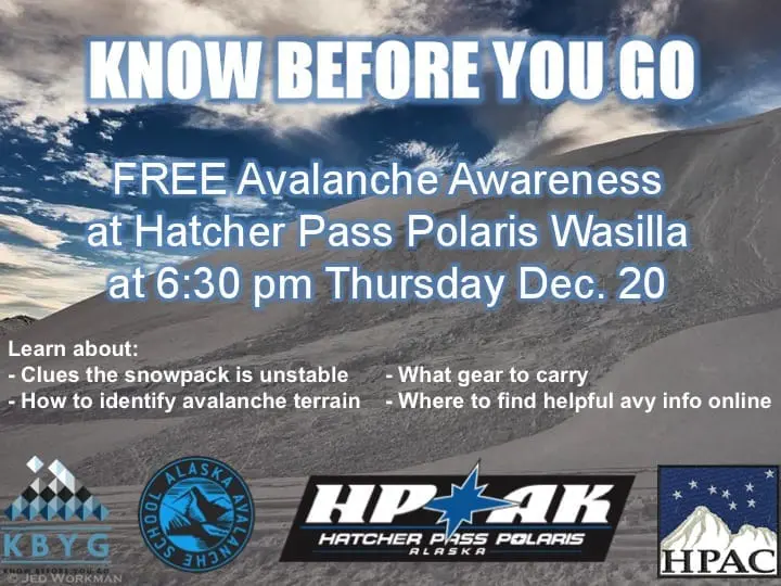
Do you need to tune-up your avalanche skills? Do you want to learn the basics on how to play safely in avalanche terrain? Please join Alaska Avalanche School and Hatcher Pass Avalanche Center Thursday December 20 for a FREE avalanche awareness presentation at Hatcher Pass Polaris Wasilla and Willow at 6:30 pm. All ages are welcome! We hope to see you there!