Hatcher Pass
Above 3,500ft Low
2,500 to 3,500ft Low
Below 2,500ftLow
Degrees of Avalanche Danger
Avalanche Activity
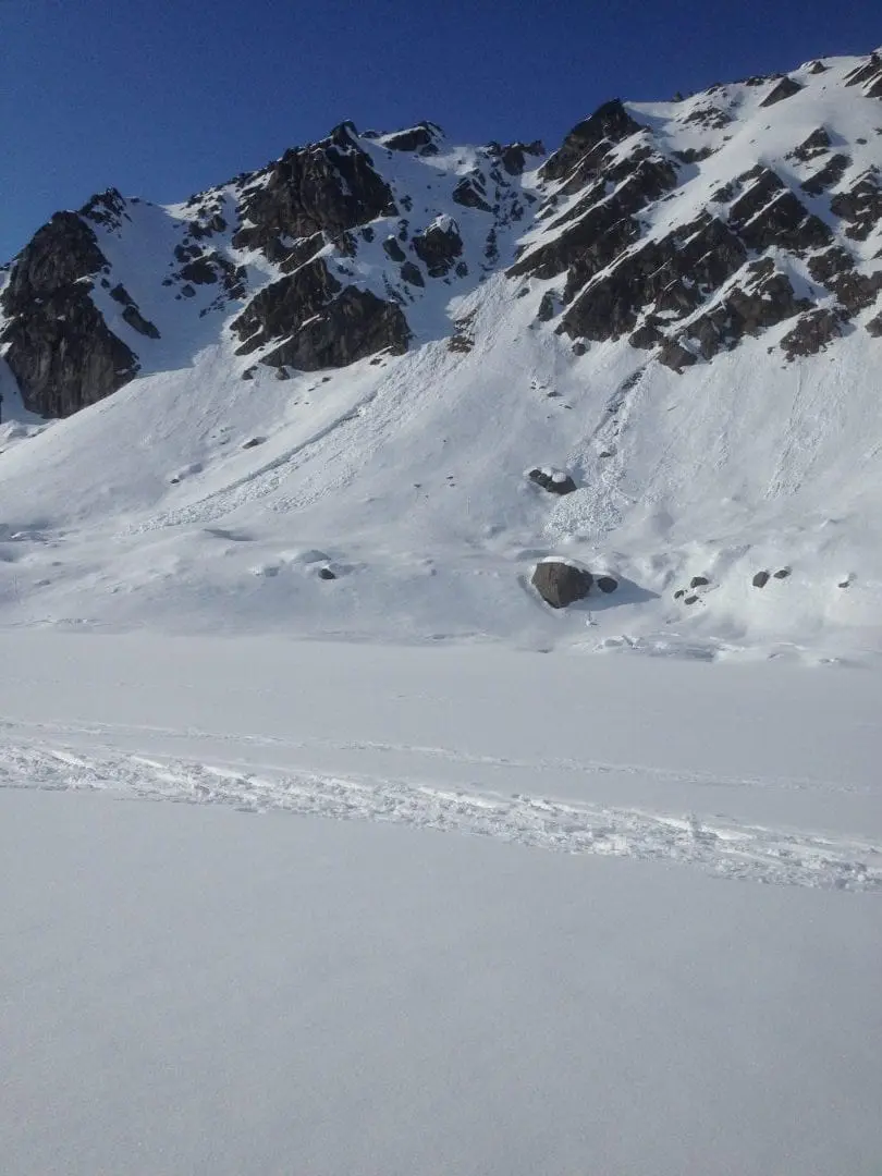
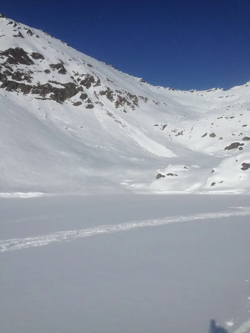
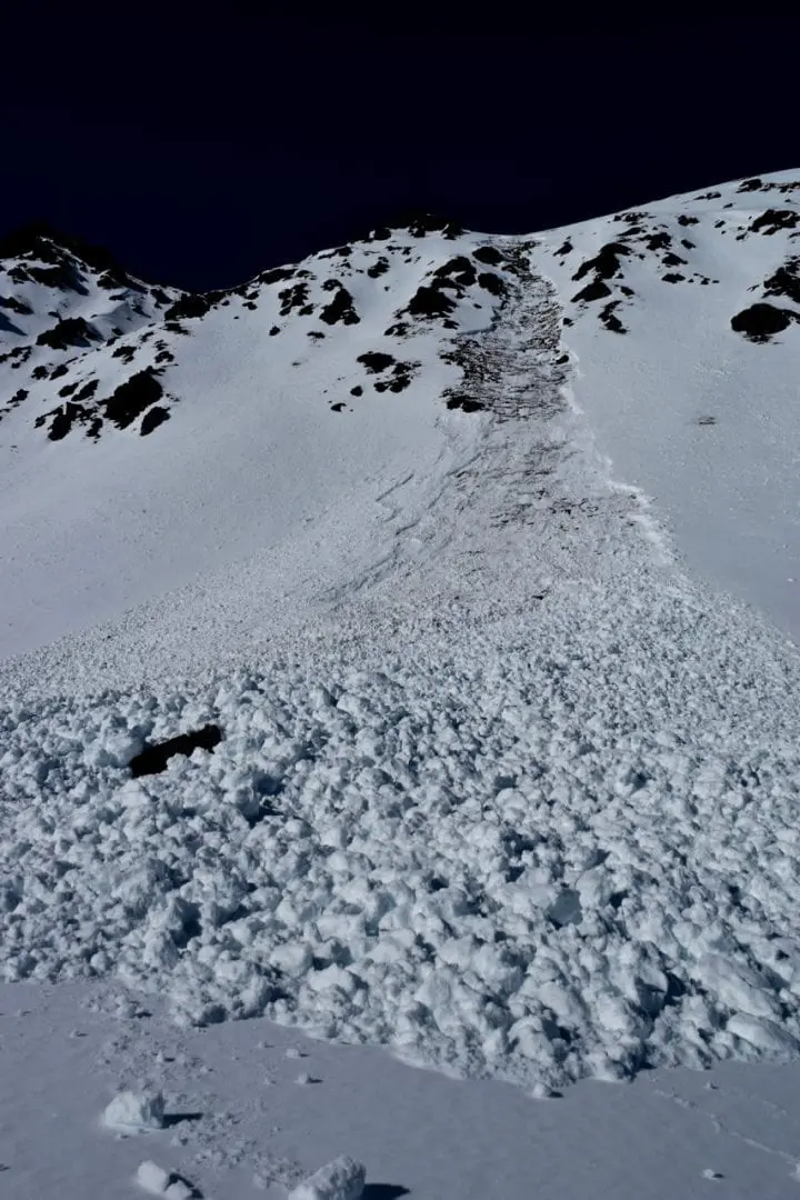
The most significant natural and human triggered wet-loose and natural wet-slabs cycle occurred last weekend, March 30-31, and early this week. Significantly cooler temps, freezing overnight, and cooler daytime temps have frozen most surfaces at all elevations since Wednesday, limiting avalanche activity later in the week.

Above: 3/31 Natural wet-loose, Lil’ Dribbler in the Nosehairs, 4400′.

Above: 3/31 Natural wet-loose, Itchy nose, Nosehairs, 4400′.

Above: 3/30 Large remotely triggered wet slab, at 11:45 am. SE aspect of Skyscraper, 4300′. More info HERE.
For more info and pictures on the Natural and Human triggered avalanches this week , check out the mid week summary, HERE or weekly OBSERVATIONS HERE.
Weather
This week’s weather at Independence Mine 3550′:
Temps averaged 30ºF, with a low of 16ºF and a high of 47ºF.
Overnight at 3550′:
Temps averaged 25°F.
No new snow.
This week’s weather at Marmot Weather Station 4500′:
Temps averaged 26ºF, with a low of 14ºF and a high of 40ºF.
Winds averaged SE 5 mph, max 16 mph . Gusts averaged SE 9 mph, max gust SE 36 mph.
Overnight at 4500′:
Temps averaged 20ºF overnight.
Winds averaged E 6 mph overnight. Max gust E 12 mph.
NWS Rec Forecast HERE
NWS point forecast HERE
State Parks Snow Report and Motorized Access information HERE
Additional Information
TREND
Avalanche danger will remain the same until we see a continued lack of freezing at night. Cloud cover, slightly warmer temps, and winds E 6-12 mph are forecasted for today.
Alerts
Read entire HPAC advisory HERE.
Announcements
BOTTOM LINE
The avalanche danger today is LOW today. Natural and human triggered avalanches will be unlikely. Low danger does not mean No danger! Small avalanches in isolated areas or extreme terrain, in the afternoon. Several nights of freezing overnight temps combined with cooler daytime temps will keep previously wet snow locked up with stout crusts 3-8″ thick on E to W aspects. Travel may be challenging today on firm surfaces until warmed by afternoon temps if the sun pops out. Cornices are still large and unpredictable, give them a wide berth.
Announcements:
Heading to Turnagain? Be sure to check the CNFAIC Forecast HERE.