Valdez
Above 4,000ftConsiderable
2,000 to 4,000ftConsiderable
Below 2,000ftModerate
Degrees of Avalanche Danger
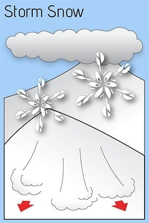
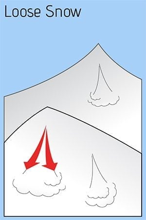
Avalanche Problems
Problem 1
Likelihood:
- Almost Certain
- Very Likely
- Likely
- Possible
- Unlikely
Size:
- Historic
- Very Large
- Large
- Small
Trend
- Increasing
- Steady
- Decreasing
Problem 2
Likelihood:
- Almost Certain
- Very Likely
- Likely
- Possible
- Unlikely
Size:
- Historic
- Very Large
- Large
- Small
Trend
- Increasing
- Steady
- Decreasing
Avalanche Activity
Over the past week there have been several slab avalanches on multiple aspects at different elevations up to size 2 including a slide last Saturday that covered the road with debris. There have been limited field observations to validate the type, trigger, or other details of these slides however; we believe they are mostly within the new snow or high in the snowpack at the new/old snow interface.
Please share field observations and photos as you get out into the field.
Weather
From the National Weather Service Rec Forecast:
The Thompson Pass Mountain Forecast covers the mountains (above
1000 ft) surrounding Keystone Canyon through Thompson Pass to
Worthington Glacier.

This forecast is for use in snow safety activities and emergency
management.

                   Today        Tonight

Temp at 1000`      24 F         20 F

Temp at 3000`      19-28 F      16-23 F

Chance of precip   0%           80%

Precip amount
(above 1000 FT)    0.00 in      0.12 in

Snow amount
(above 1000 FT)    0 in         1-2 in

Snow level         sea level    sea level

Wind 3000` ridges  NE 15-29 mph NE 18-36 mph

Remarks...None.
Additional Information
If you get out riding, please send in an observation!
Start the season with fresh batteries in your beacon, and do a rescue practice with your partners. Always carry a beacon, shovel, and probe, and KNOW HOW TO USE THEM.
Practice good risk management, which means only expose one person at a time to slopes 30 degrees and steeper, make group communication and unanimous decision-making a priority, and choose your terrain wisely: eliminating unnecessary exposure and planning out your safe zones and escape routes.
Do you have the right route, the right group, the right skills on the right day?
Live to Ride Another Day!
Alerts
The avalanche danger is CONSIDERABLE above 1500′ due to high volume of recent snow and complicated problem layers in the snowpack. Early season conditions: low snowpack with widespread variability. Use caution as you enter avalanche terrain (slopes over 30deg) and be aware that avalanche terrain may be ABOVE you. Areas of thinner snowpack are more suspect for weaker and unstable snow especially further inland and north of 32 mile. We have seen a lot of recent snow, in a short amount of time, and have limited snowpack data!


