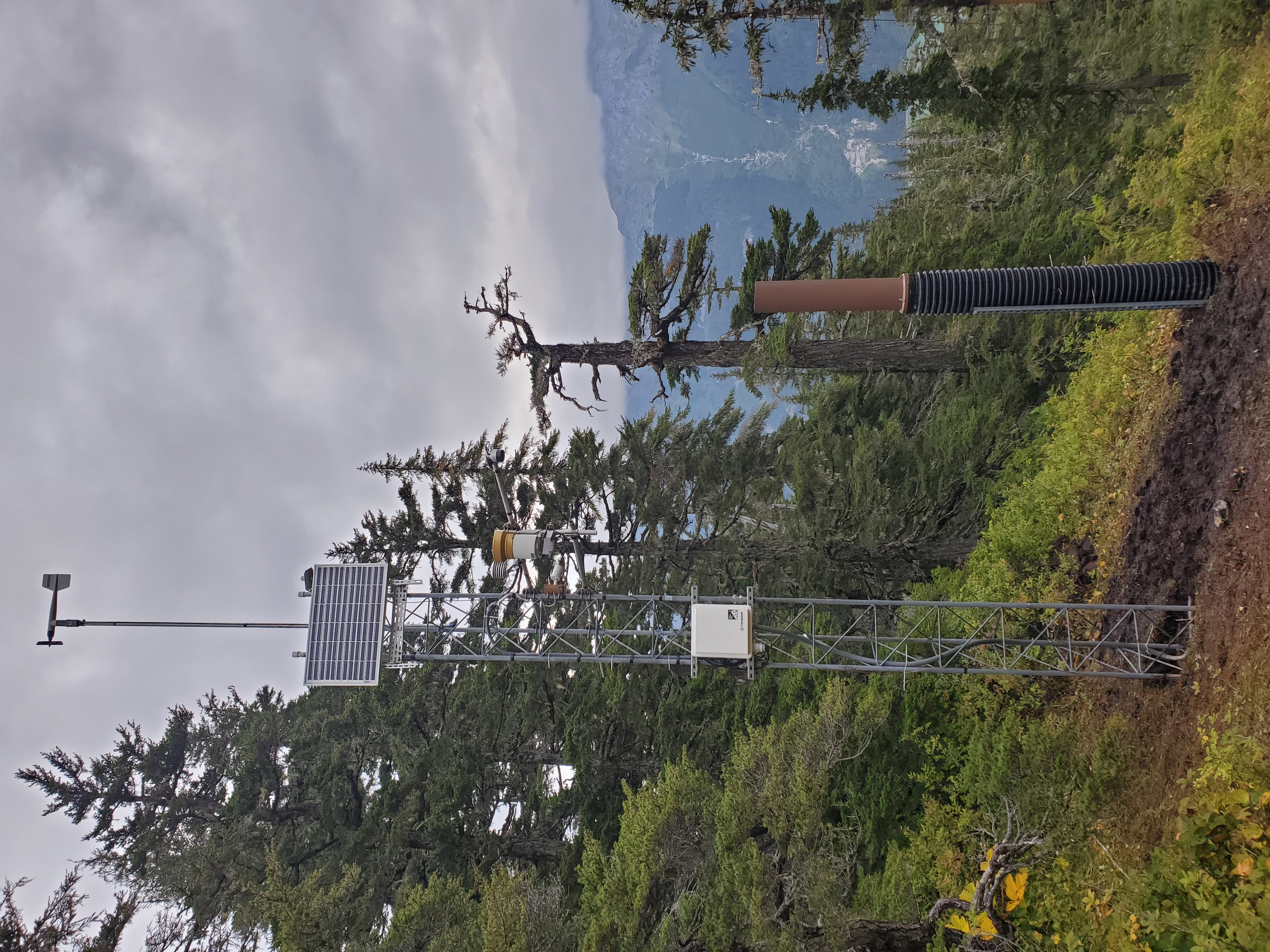

Lutak Hillside Weather Station
About the Rainfall and Precipitation Values
This station has a tipping-bucket rain gauge (which operates only when the temperature is above freezing), and a cumulative precipitation gauge which operates in all temperatures.
The precipitation gauge uses antifreeze to melt any snow or ice that falls into the tube, thus it measures the water equivalent of snowfall, in addition to any rain that falls. This type of gauge is prone to evaporation during dry periods, so the total precipitation measurement may decrease between storms. It can also be prone to absorbing moisture from the air, so there may be slight increases in the measurement even when it is not raining/snowing. During periods of rainfall/snowfall, the increase in total precipitation tracks closely with the actual precipitation that is falling.
Approximately once per year, the precipitation gauge will be reset to approximately 20", and the accumulated rainfall value will be reset to 0.00.
Site Information
| Latitude: | 59.301877° N |
| Longitude: | 135.551610° W |
| Elevation: | 1,265ft |
| Reporting Since: | 9/8/2024 |
| Data Update Schedule: | on the hour and half-hour |
| Sensor | Details | Height Above Ground [ft] | Put Into Service | Collection Interval |
| Temperature/Humidity: | CS Hygrovue5 in radiation shield | 14.0 | 9/8/2024 | 5 min |
| Rain: | TE525WS 8-inch | 13.75 | 9/8/2024 | 5 min |
| Snow Depth: | CS SR50A | 13.75 | Rebuilt 9/8/2024 | 30 min |
| Wind: | Young Wind Monitor 05103 | 26 | 9/8/2024 | 5 min (avg and 5-sec gust) |
| Precipitation: | 10-inch pipe, Keller Preciseline PT | 11 | 9/8/2024 | 30 min |
Project Partners: Sitka Sound Science Center, State of Alaska Department of Geological and Geophysical Surveys, and USDA SNOTEL
