Valdez
Above 4,000ftNone
2,000 to 4,000ftNone
Below 2,000ftNone
Degrees of Avalanche Danger
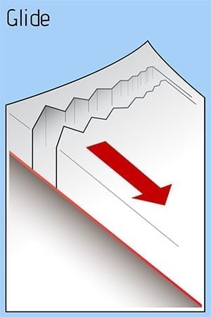
Avalanche Problems
Problem 1

Likelihood:
- Almost Certain
- Very Likely
- Likely
- Possible
- Unlikely
Size:
- Historic
- Very Large
- Large
- Small
Trend
- Increasing
- Steady
- Decreasing
Problem 2

Likelihood:
- Almost Certain
- Very Likely
- Likely
- Possible
- Unlikely
Size:
- Historic
- Very Large
- Large
- Small
Trend
- Increasing
- Steady
- Decreasing
Problem 4
Likelihood:
- Almost Certain
- Very Likely
- Likely
- Possible
- Unlikely
Size:
- Historic
- Very Large
- Large
- Small
Trend
- Increasing
- Steady
- Decreasing
Avalanche Activity
An older slab avalanche was observed on Jan 4 on Little Girls Mtn at 3500′, D2, nS aspect, 3′ crown, possibly running on an old rain crust. It is thought that this released in 2018.
On Jan 3 and 4 there were several small wind slab avalanches, both natural and skier triggered, (less than 1′ deep) along the road corridor between Thompson Pass and 38 mile, between 3-4000′, on multiple aspects.
Please share your field observations including signs of stable snow HERE.
Weather
Clear and sunny skiers, moderate-high north winds, and cold temperatures are forecasted through Tuesday the 8th and then a small round of snow Tuesday night into Thursday.

The most recent NWS rec Forecast can be found HERE:
312 PM AKST Sun Jan 6 2019

The Thompson Pass Mountain Forecast covers the mountains (above
1000 ft) surrounding Keystone Canyon through Thompson Pass to
Worthington Glacier.
                   Tonight      Mon

Temp at 1000`      -11--2 F     -2- 5 F

Temp at 3000`      -20 F        -5- 7 F

Chance of precip   0%           0%

Precip amount
(above 1000 FT)    0.00 in      0.00 in

Snow amount
(above 1000 FT)    0 in         0 in

Snow level         sea level    sea level

Wind 3000` ridges  NE 17-39 mph NE 6-28 mph
Additional Information
SNOWPACK BIG PICTURE: The New Year’s Eve storm brought nearly 2.5″ of SWE to Valdez and almost another 1″ on the 2-3rd of January. That is a LOT of snow and rain in 5 days and it accumulated to over 3′ above 2000′ near Thompson Pass. Both of these storms had little wind but the north wind picked up from the 4-6th of January building fresh wind slabs. Above 4000′ the snowpack averages over 300cm deep and has good strength and structure (few lemons). Below the rain line from the historically warm and wet October, 3500-4000′, the snowpack is significantly shallower and has more problem layers: facet-crust combos and BASEL facets (all the way to sea level). There is barely enough snow to build a slab avalanche or travel off trail below 1000′.
If you get out riding, please send in an observation.
Do a rescue practice with your partners. Always carry a beacon, shovel, and probe, and KNOW HOW TO USE THEM.
Practice good risk management, which means only expose one person at a time to slopes 30 degrees and steeper, make group communication and unanimous decision making a priority, and choose your terrain wisely: eliminating unnecessary exposure and planning out your safe zones and escape routes.
Announcements
There is no current avalanche hazard rating (until Thursday night Jan 10th.) The north wind returned on Sunday the 6th and is expected to continue blowing through Tuesday the 8th. New WIND SLABS are forming leeward to the northeasterly winds and small human triggered avalanches are possible in steep terrain. Click FULL FORECAST for more information and please share your field observations HERE.