Haines Avalanche Center
Above 2,500ftConsiderable
1,500 to 2,500ftConsiderable
Below 1,500ftModerate
Degrees of Avalanche Danger
Avalanche Problems
Problem 1
The Bottom Line: The last 3 storms have been the same trend, more precip to the south, which has it stacking up in the Lutak zone. This is adding to our current snowpack that has avalanche problems with the potential for severe consequences. Load/trigger and steeper slope angle are the missing ingredients of causing serious harm. Wide margins of safety are highly recommended.
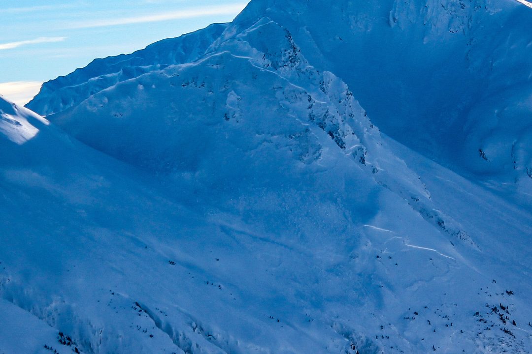
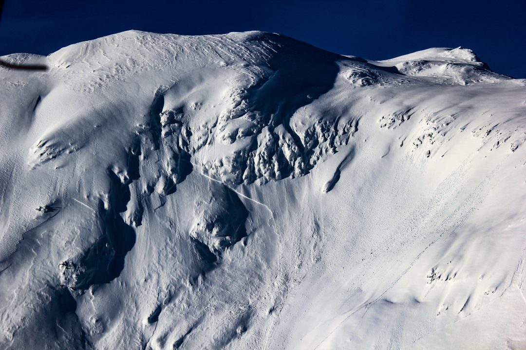
N NE and NW slopes may be harboring wind slabs. Winds are building cornices on ridges, also gullies/ other terrain features might be cross loaded.
Be prepared for an avalanche that could step down to deeper instabilities, creating a slide that could break very wide, and take out all the “safe” zones on a slope. Be extra careful not to group up in places that an avalanche can reach. Be diligent and patient, practice good group management, communication and decision making. Keep small groups helping everyone to have a voice. Systems and checklists help reduce the human factor. Do not ski/ride on the same slope as another group. Travel one at a time or with enough spacing so that only one person is exposed to an avalanche path at any one time. There are plenty of safe and beautiful opportunities for riding in this region.
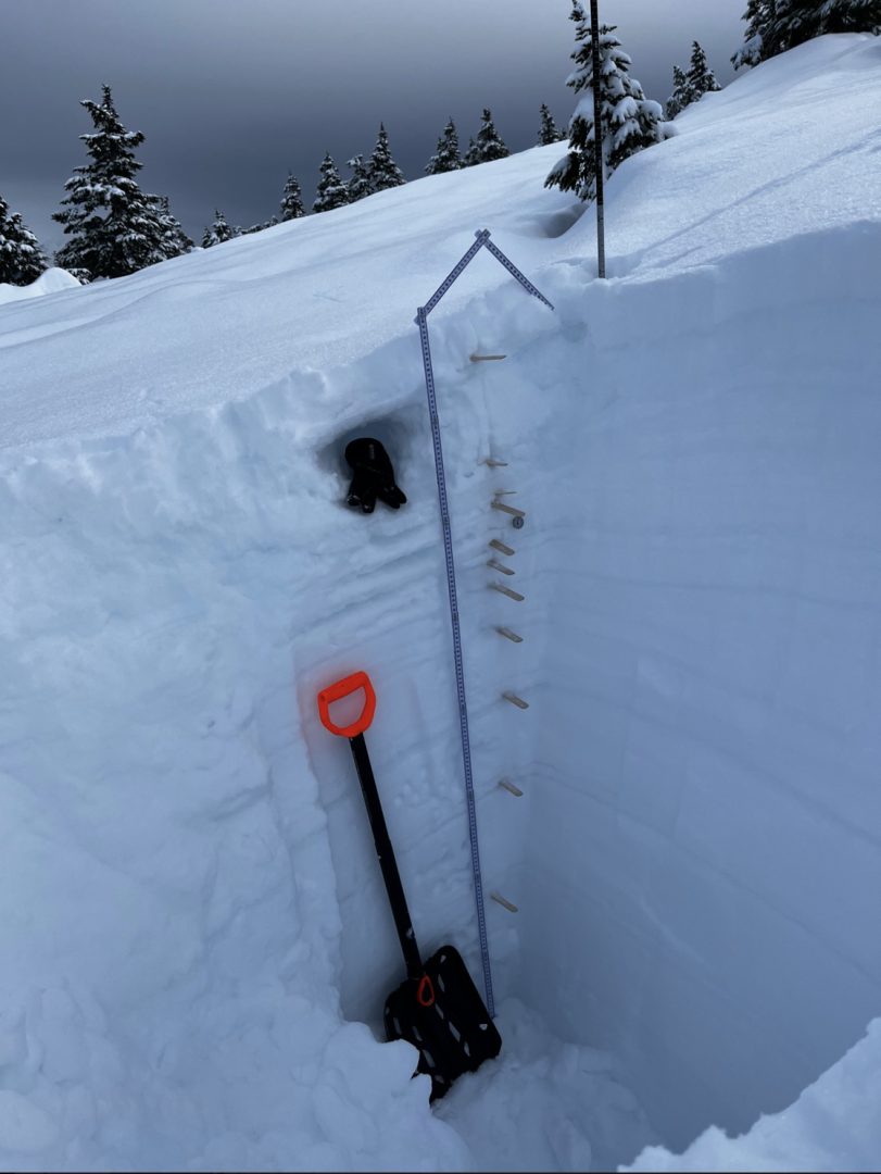
Surface Hoar observed in sheltered N-NE areas of Lutak Feb 1.
Pit from Feb 1 in Lutak reveals a layer cake of a snowpack.

Likelihood:
- Almost Certain
- Very Likely
- Likely
- Possible
- Unlikely
Size:
- Historic
- Very Large
- Large
- Small
Trend
- Increasing
- Steady
- Decreasing
Problem 2
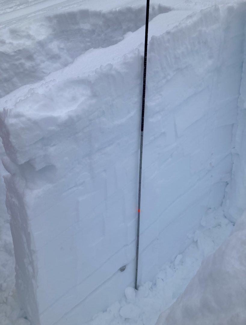
Jan 25th melt freeze crust is ~3-4′ deep (with recent winds, there is a lot of variability on depth of this widespread layer) sitting on top of it are near surface facets, and buried surface hoar from Feb 1-4.
Lutak, Feb 4 PST 70/130 End down 130 rounding faceted polycrystals.

Likelihood:
- Almost Certain
- Very Likely
- Likely
- Possible
- Unlikely
Size:
- Historic
- Very Large
- Large
- Small
Trend
- Increasing
- Steady
- Decreasing
Avalanche Activity
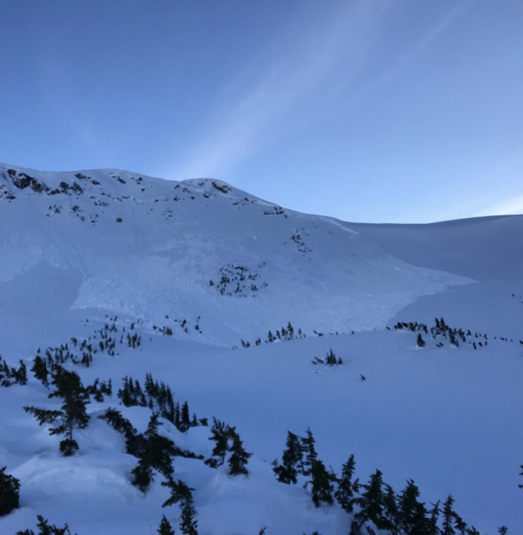
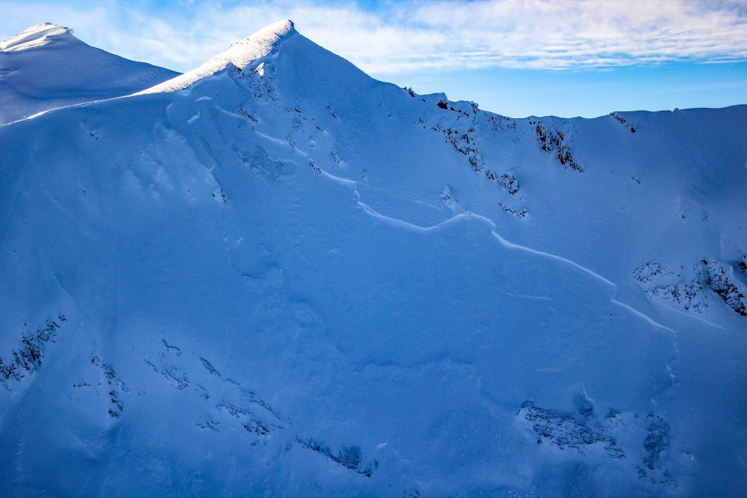
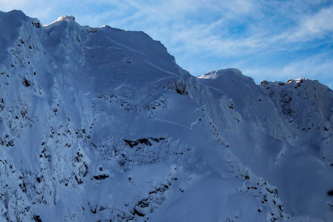
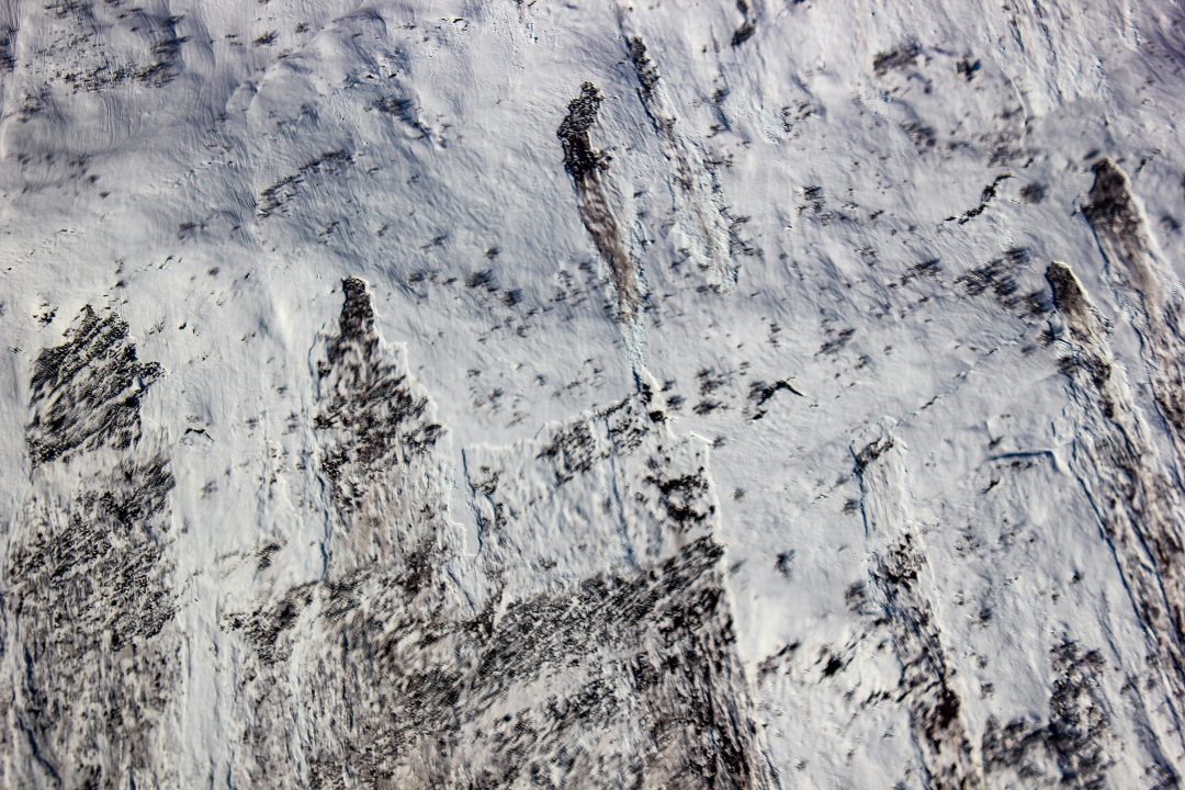
Feb 9: Glide cracks ~3000-3400′ in the transitional zone on N, NE aspects. Also notable was observation of reloading of bed surfaces on previous slides.
Lutak Zone:
Jan 28:
Glory Hole NW-aspect around 3,200′
Transitional and Chilkat Pass Zones:
January 25-29th:
Isolated fresh D2 wind slab avalanches in cross-loaded gullies near the Little Jarvis/Klehini area.

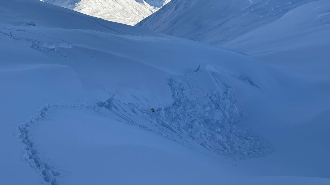
Reports of two snowmachine-triggered slides at the Pass, one was this D2 up West Nadahini Creek above 4,000′ failed 2-7′ deep on an isolated terrain feature. (likely slid on buried surface hoar)
Recent Natural activity
R4D2.5 at the Pass, likely ran on buried surface Hoar, stepped down to depth hoar at ground. Photo by David Morisette, via MIN.
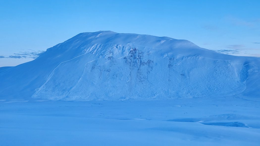
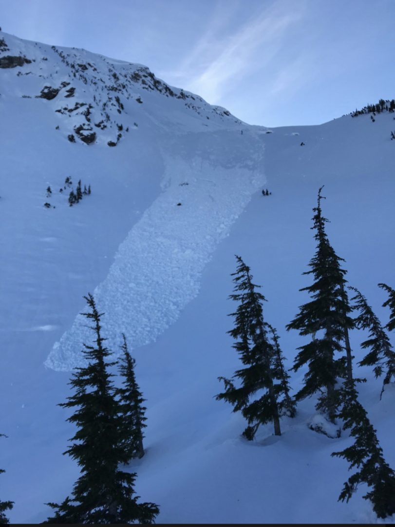
D3 NE aspect 6000′ near Nadahini with widespread propagation.
D3 cycle between 3000-6000ft. All aspects. Most were unsupported slopes or rocky areas. Crowns 1-3m deep, ran just above ground.
Multiple D2 that ran about 2ft deep. In wind protected areas.
2000-3000ft widespread full depth wet slabs and glide avys, all aspects.
D2 N aspect 4300ft sub bowl of Old Faithful failed down to near ground, Was confined to a smaller pocket.
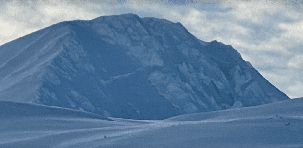
D3 on SW aspect at Lutak Inlet, ran down to the water
D4 on Takhin Ridge
Weather
Forecast:
Overcast with light snow throughout the day, accumulation ~2 inches. Temps in the upper 20s. Freezing level ~300 feet. Light SE winds.
Recent Weather Summary:
- Feb 12 freezing levels 1250ft
- Incremental snow (more in Lutak zone) since Feb 5th, periods of moderate S/SE winds
- Feb 1-4 Near surface facets on top of crust from Jan 25 warm-up
- Jan 17-26 brought around 5″ of precip (3-5feet of new snow above 3000ft), strong SE winds, and a noticeable warmup
- Surface Hoar and Near Surface Facet growth Jan 8-10
- A strong front brought 24-30″ of snow above 2000ft on Jan 2nd.
- There was widespread Surface Hoar growth on Dec 31st.
- Dec 23-26 brought 10-18″ of new snow and a sharp rise in temperatures from -10F to 30F along with variable winds
- Dec 16-23 brought strong NW winds and arctic cold temperatures
- Dec 15 brought warmth/light rain up to 2600ftComplete Season Histories: Transitional Zone Lutak Zone
Additional Information
WEAR A HELMET! Be careful of rocks and hidden hazards. Be prepared for crevasses when on a glacier.
Are your riding companions trained and practiced in avalanche rescue? Everyone in your group needs to have a beacon, shovel, and probe, and know how to use them. Our mountains have very limited cell coverage, carry an emergency communication device and enough gear to spend the night.

Avalanche Canada’s Daily Process Flow – Utilize this every day you go out in the mountains.
Announcements
Click the +Full Forecast link below for each zone to read more. If you see any recent natural avalanche activity, or signs of instability please submit an observation.