Cordova
Above 2,000ftConsiderable
1,000 to 2,000ftModerate
Below 1,000ftLow
Degrees of Avalanche Danger
Avalanche Problems
Problem 1
Likelihood:
- Almost Certain
- Very Likely
- Likely
- Possible
- Unlikely
Size:
- Historic
- Very Large
- Large
- Small
Trend
- Increasing
- Steady
- Decreasing
Problem 2
Likelihood:
- Almost Certain
- Very Likely
- Likely
- Possible
- Unlikely
Size:
- Historic
- Very Large
- Large
- Small
Trend
- Increasing
- Steady
- Decreasing
Weather
Cold dry weather in the last 10 days has left us with a shallow, faceted, sugary snowpack. A skiff of ice and hoar frost exists at sea level, while 2 ½ feet sits at 1500 feet, and 4 to 5 feet is in the upper mountains. Light northerly wind created some small isolated wind slabs above tree line. Winds have now become easterly as the next storm approaches.
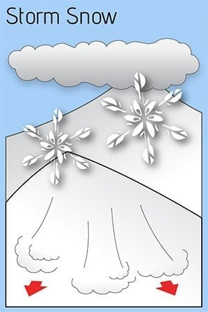
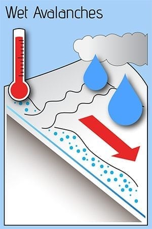
Expect at least an inch of water overnight. This has started as light snow to sea level, but will change to rain as the freezing line climbs above our local peaks. Precipitation may be heavy at times. Moderate east winds will move available snow to western aspects. Avalanches are expected, though size and extent will depend on how much new snow accumulates before changing to rain. Precipitation should taper Monday, yet the weather looks to be busy through next week.


